
The US Army Corps of Engineers (USACE), Governor Kathy Hochul, Senator Chuck Schumer, and Senator Kirsten Gillibrand announced a beach renourishment project on August 5 that a $52 million contract had been awarded to Great Lakes Dredge and Dock Company of Houston, Texas, to conduct emergency dune and beach repairs for eastern Fire Island.
“The safety of New Yorkers is one of my top priorities, especially communities vulnerable to the impacts of extreme weather driven by climate change,” Hochul said in the announcement,
Hochul, Schumer, Gillibrand, Representative Andrew Garbarino, Suffolk County Executive Edward Romaine, and several Islip and Brookhaven officials have been praised for the successful bipartisan effort to secure USACE repairs.
In a joint statement, the Presidents of the Fire Island Association, Suzy Goldhirsch, Henry Robin, and Tom Ruskin, the Fire Island Pines Property Owners Association, and the Seaview Association thanked those officials. Goldhirsch, Robin, Ruskin, Ocean Bay Park Association President Karen Kee, and other community leaders fought to secure these repairs. The community leaders did this by alerting elected officials, the USACE, and the public of the situation through media outreach, meetings with public officials, and political advocacy.
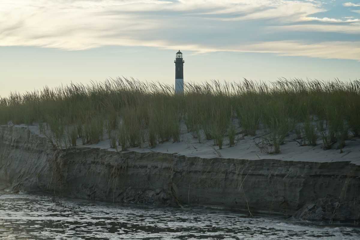
Repairs were approved because of the cumulative damage caused by Hurricane Lee and Tropical Storm Ophelia in September 2023 and other coastal storms between November 2023 and January 2024. According to Gillibrand’s statement, large sections of dunes and beaches were damaged, threatening homes and infrastructure from Ocean Bay Park to Davis Park.
“The Army Corps did not want to do this project. The Army Corps clarified to Henry and me that they weren’t doing this,” said Ruskin. “The pressure that The Pines and Seaview put on the Army Corps, NY State DEC, and our elected officials.”
Those pressures prompted the agency to do a reassessment and approve the repairs. Still, Robin also said the USACE is a “real partner in the effort to maintain the shoreline management of Fire Island,” and expressed confidence in the institution’s commitment to Fire Island. Ruskin agreed with the assessment.
Both also emphasized that they believe the USACE understands the importance of Fire Island as a barrier island that protects mainland Long Island.
This repair project is just a small part of USACE efforts under the $2.4 billion Fire Island Inlet to Montauk Point (FIMP) initiative to protect Fire Island and The South Shore from near-term storms, beach erosion, and long-term sea level rise. FIMP mainly funds sand placement and the construction of dunes and berms, but other aspects include paying to elevate homes.
The program will protect Fire Island over the next few decades, but will it continue to do so in the long term? According to the USACE, FIMP is 100% federally funded by the Disaster Relief Appropriations Act of 2013 to provide beach renourishment at a four-year intervals for the next 30 years. What happens after those 30 years is uncertain. The USACE told Fire Island News that they estimated Fire Island’s erosion control needs up to 100 years into the future during FIMP’s study phase. However, the USACE “can only build projects approved, authorized, and funded by Congress.” The recent repair project approval shows that Fire Island has bipartisan support today, but that may not always be true. Even if federal support is retained, rising sea levels will remain an existential challenge even under relatively optimistic climate change scenarios.
Under the Intergovernmental Panel on Climate Change scenario SSP1-1.9, the most optimistic scenario modeled by NASA’s interactive sea level rise map, sea levels in Montauk will rise .61 meters (over two feet) by 2100. If sea levels rise on Fire Island by a similar amount most of Saltaire and half of Ocean Beach would be underwater according to the National Oceanic Atmospheric Administration (NOAA)’s interactive sea level map. However, even these maps are just educated guesses created using available data, not foolproof predictions.
The National Park Service has also been conducting ongoing assessments to determine the vulnerability of Fire Island National Seashore (FINS) resources. Brendan Newell, Manager of the FINS Resource Stewardship Division, cited salt marshes, maritime forests, and freshwater systems as our most vulnerable natural resources.
Newell said that FINS is seeking to maintain natural processes and focus on adaptation for park facilities rather than to create a plan to preserve changing natural systems as static objects, at least for the moment. FINS is pursuing efforts to help salt marshes heal themselves to preserve marshes and uplands. Still, Newell speculated that future breaches would be more common and that our island could be divided into multiple pieces dominated by early successional dune habitat. Ultimately, the composition of our island’s future landscape and species is impossible to determine confidently. Fire Island is a land of shifting sands, and that will continue as the forces of climate change and government policy shape our island’s future.